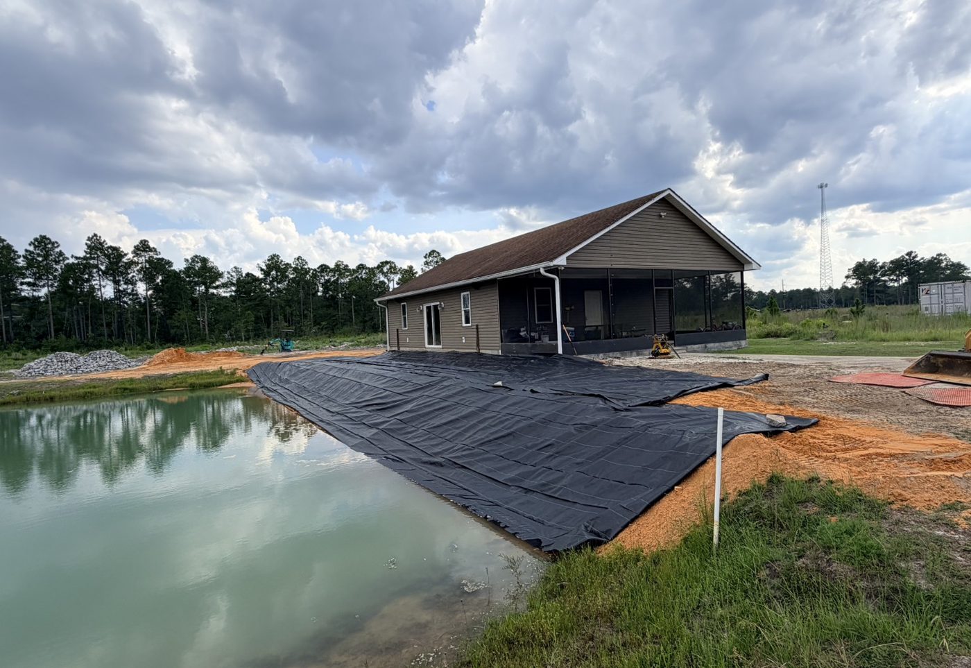
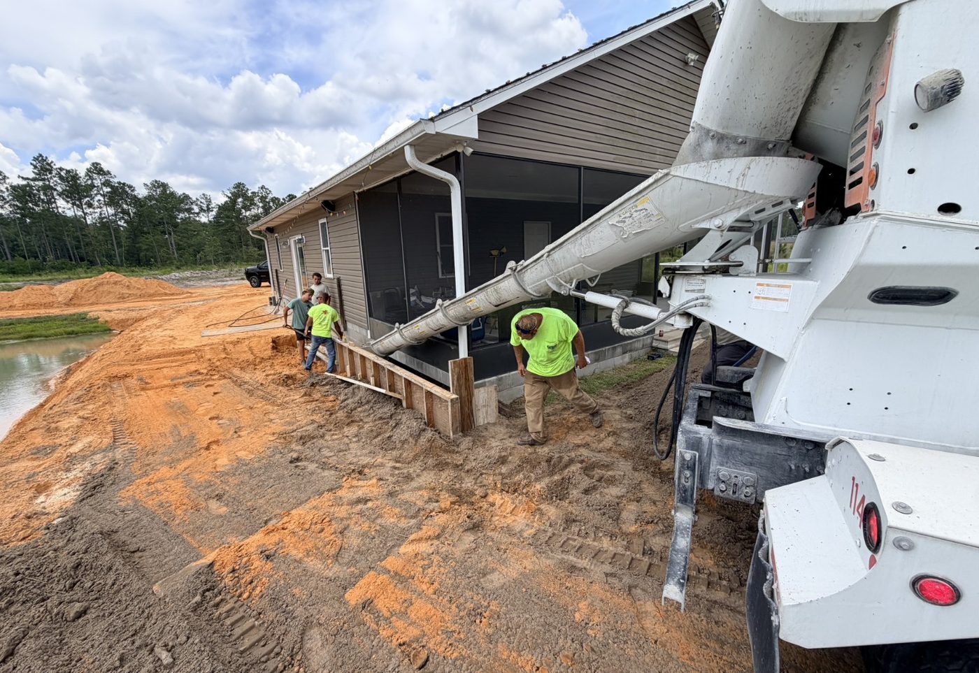
Cavagnaro Shoreline Stabilization
An active Southeast Georgia shoreline stabilization and erosion control project supported through planning, contractor coordination, documentation, progress monitoring, and drone documentation.
Projects
Satilla supports the parts of a project where site conditions, documentation, coordination, and follow-through matter. This project area separates active work from completed public profiles and can be updated with Satilla project photos as they become available.
Current projects
Current project profiles show active work where Satilla is supporting planning, coordination, field documentation, and progress visibility.
An active Southeast Georgia shoreline stabilization and erosion control project supported through planning, contractor coordination, documentation, progress monitoring, and drone documentation.
Completed projects
Completed public project profiles will be added as work is closed out and owner-approved photos, details, and summaries are available for publication.
No completed public project profiles are published at this time. Future profiles may include drainage, site development, utility support, drone documentation, and construction oversight projects.
Project support categories
Explore representative project categories Satilla Site Solutions supports across construction oversight, drone mapping, utility infrastructure, site development, drainage, and construction-phase support.
Field observations, progress documentation, issue tracking, and communication support for active construction work.
Aerial site records for current conditions, construction progress, drainage visibility, and owner updates.
Field documentation and coordination around utility corridors, access, sequencing, installation, and site conflicts.
Support for grading, access, field conditions, construction sequencing, and development coordination.
Documentation and problem-solving support for runoff, ponding, swales, culverts, site access, and water movement.
Practical field support for logistics, punch-list follow-up, issue coordination, and construction-phase documentation.
Capabilities
Site observations, issue tracking, progress updates, and practical follow-through.
Communication support between owners, contractors, municipalities, developers, and facility teams.
Field notes, photos, drone imagery, progress records, and project summaries.
Aerial visibility for site conditions, drainage, utilities, access, and progress.
Problem documentation and practical next-step coordination for water movement and stormwater concerns.
Progress, conflict, access, trench, pipe, and installation documentation.
Start with a project review. Satilla can help define the problem, document the conditions, and coordinate the right next step.
Start a Project Review