
Progress photos
Photos are organized around work areas, open issues, visible progress, and useful context.
Construction Observation & Documentation
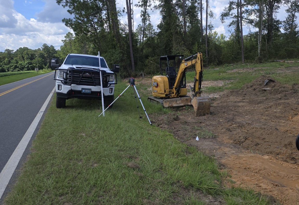
Satilla provides field observation and documentation support for owners and project teams who need clearer progress records, photo reports, issue tracking, work-in-place documentation, and contractor activity summaries.
Field records
This service documents visible site activity, progress, conditions, and open concerns. It is not code inspection, engineering inspection, surveying, or design review.
The goal is to give owners and project teams a practical record of what happened, what changed, and what needs attention.
Owner-side reporting
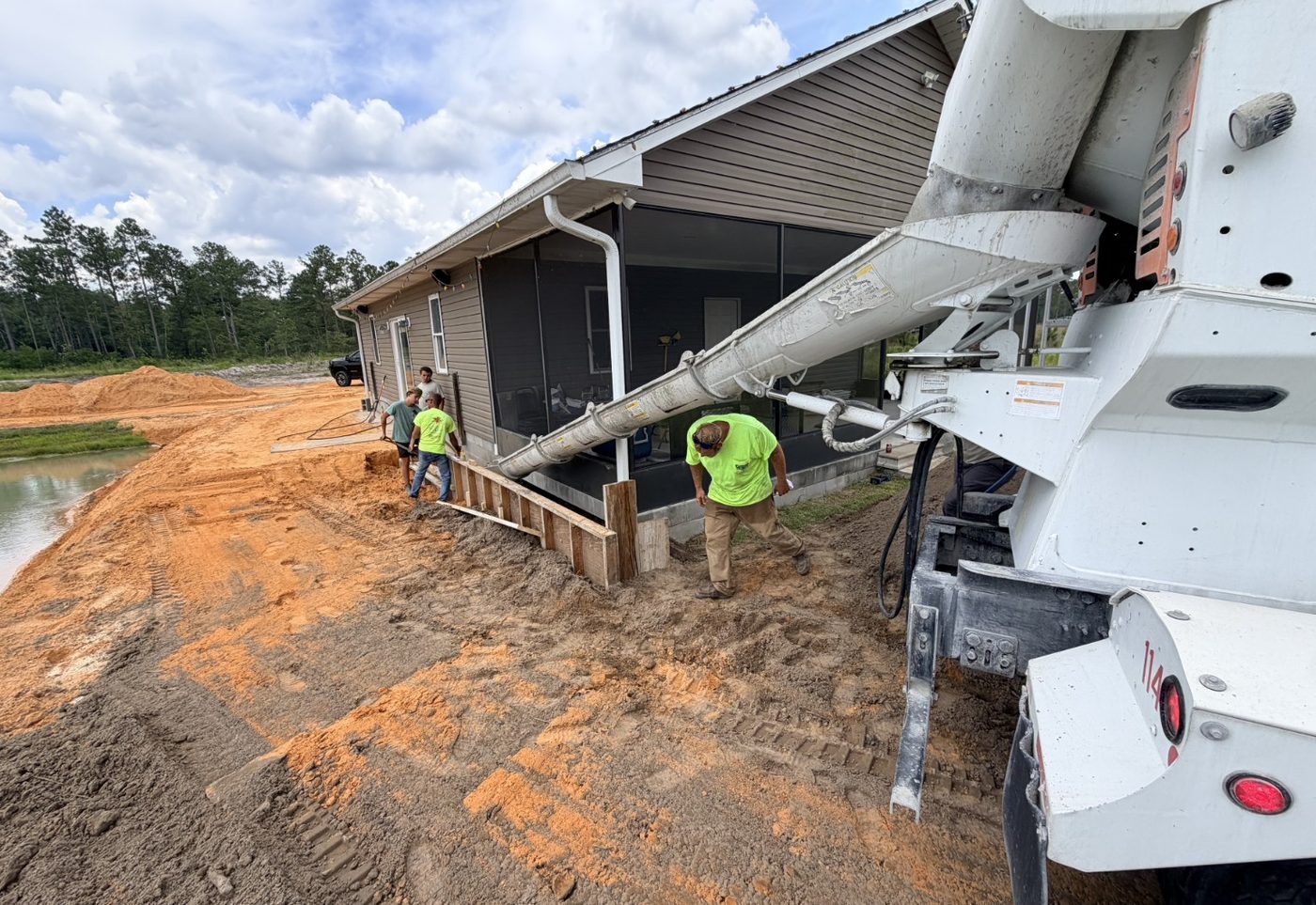
Photos are organized around work areas, open issues, visible progress, and useful context.
Site concerns are captured with notes and follow-up needs so they do not disappear during active work.
Contractor activity, work areas, weather impacts, access concerns, and visible constraints can be summarized.
Drone imagery can be added when aerial documentation helps explain site conditions or progress.
Final photos, punch observations, and turnover documentation can support a cleaner finish.
Reports help owners, facility teams, municipalities, or developers understand site progress without being present every day.
Related support
This service pairs with construction oversight, contract administration support, and drone mapping.
Connected services
Progress records help oversight stay focused on field conditions and open items.
Documentation supports scope, correspondence, and closeout records.
Aerial imagery adds visual context when ground photos are not enough.
Tell us what needs to be observed, documented, or reported, and Satilla can help shape the right reporting approach.
Request Documentation Support