
Civil Construction
Connected civil scopes including excavation, grading, utilities, drainage, demolition, access, stabilization, and restoration.
View Service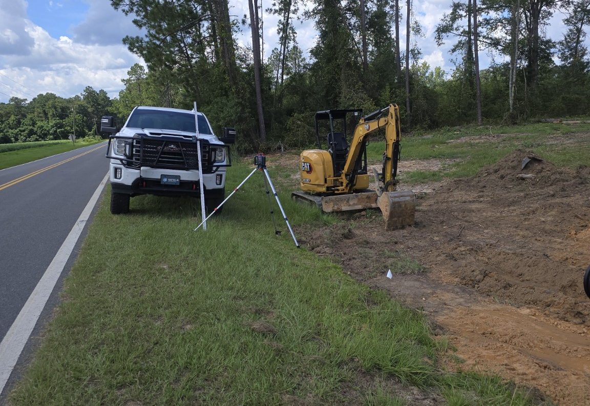
Civil Construction & Site Solutions
Satilla Site Solutions provides civil construction, site development, excavation, grading, utility infrastructure, demolition, drainage, roads and aggregate surfaces, shoreline stabilization, and professional construction services for property owners, developers, general contractors, municipalities, and industrial facilities throughout Southeast Georgia and select projects across the Southeast.
Find the problem. Coordinate the fix. Finish the work right.
What we do
From individual site improvements to complete civil packages, Satilla evaluates projects based on the needs of the site, the surrounding constraints, and the work required to move the property forward.
Connected civil scopes including excavation, grading, utilities, drainage, demolition, access, stabilization, and restoration.
View ServiceSite preparation, clearing, grading, excavation, utilities, drainage, access, and construction-phase site work.
View ServiceEarthwork, excavation, rough grading, fine grading, building pads, backfill, access, and related site preparation.
View ServiceWater, sewer, storm, utility excavation, crossings, trenching, backfill, and restoration support where project requirements allow.
View ServiceCulverts, storm drainage, ditches, swales, erosion repair, outfall stabilization, and site drainage improvements.
View ServiceStructure demolition, concrete removal, clearing, debris removal, backfill, grading, and site restoration.
View ServiceClearing, grubbing, brush removal, right-of-way clearing, access clearing, and construction-site preparation.
View ServiceGravel driveways, access roads, aggregate parking areas, crusher run, asphalt millings, base repair, and regrading.
View ServiceDriveway culverts, cross drains, bedding, backfill, ditch tie-ins, aggregate restoration, and outlet stabilization.
View ServiceTemporary and permanent site stabilization, erosion-control seeding, utility restoration, roadside restoration, and final grass establishment.
View ServiceShoreline protection, erosion control, bank stabilization, riprap, restoration, and related civil construction.
View ServiceSediment removal, bank repair, grading, clearing, erosion stabilization, riprap, outlet work, and access restoration.
View Service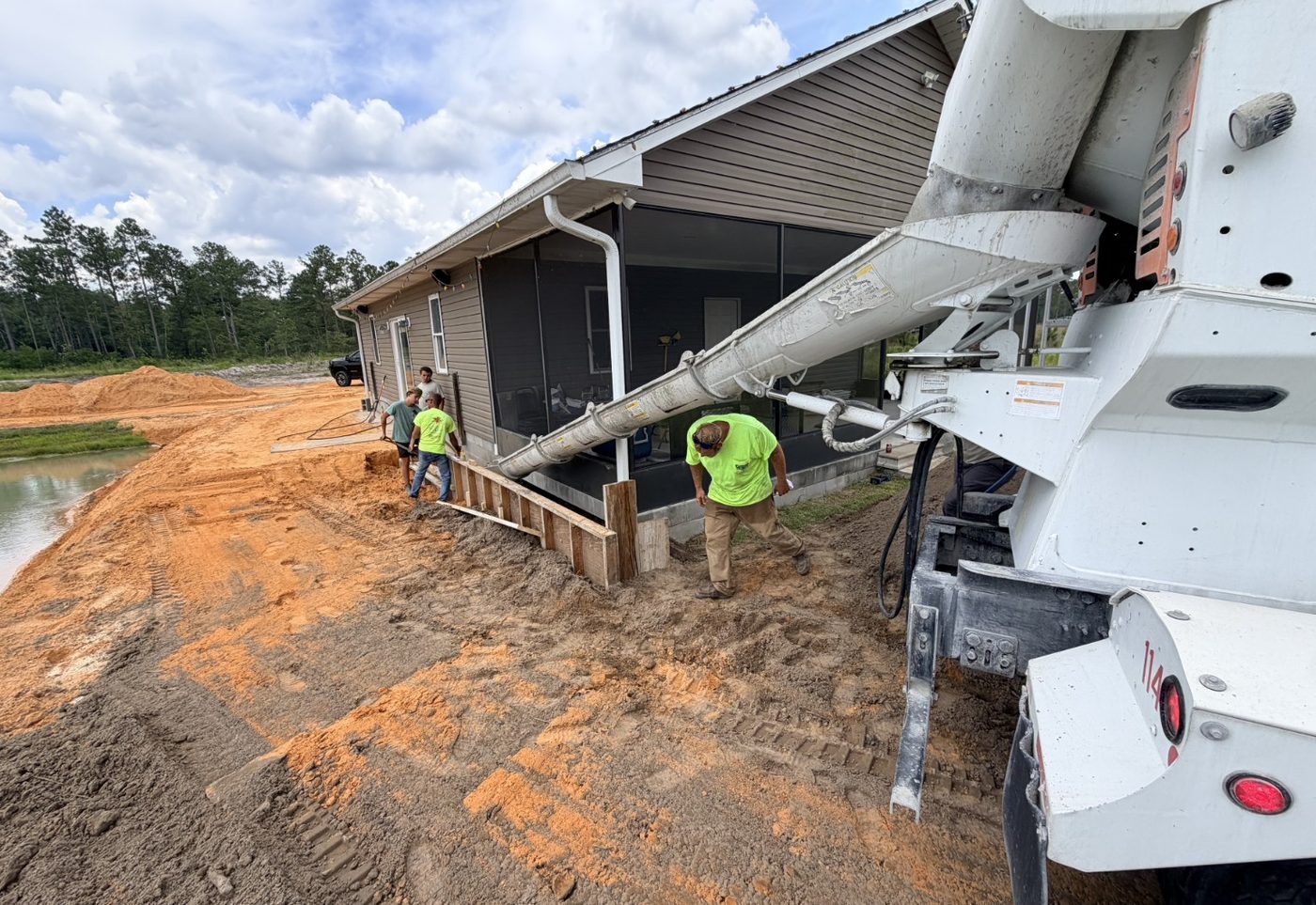
Featured Project
Role: Prime Contractor
Location: Southeast Georgia
Project Type: Shoreline Stabilization / Civil Site Construction
Satilla Site Solutions is serving as prime contractor for an active civil site project combining shoreline stabilization, erosion control, earthwork, concrete support, access coordination, field documentation, and protection of adjacent improvements.
Why Satilla
Satilla occupies the space between a small equipment contractor and a large civil contractor or construction manager. The company understands both how to build the work and how to manage the project.
Construction, excavation, grading, utilities, drainage, stabilization, and restoration are backed by planning, communication, and documentation.
Experience with owners, engineers, contractors, inspectors, municipalities, and field personnel helps keep decisions grounded in real project needs.
Clearing, demolition, earthwork, drainage, utilities, aggregate, erosion control, stabilization, and restoration are viewed as connected site work.
Markets Served
Satilla supports developers, municipalities, industrial facilities, general contractors, commercial owners, property managers, HOAs, farms and agricultural properties, private property owners, utility companies, engineers, and other contractors.
Access, utilities, aggregate surfaces, demolition, grading, site repair, civil maintenance, and drainage coordination.
Utility infrastructure, site restoration, access coordination, documentation, storm drainage, and construction support under project-specific requirements.
Driveways, culverts, clearing, grading, access, pond or shoreline stabilization, erosion control, and practical property improvements.
Professional services
Satilla also supports owners, developers, contractors, municipalities, and industrial clients with experienced construction management, oversight, documentation, and owner-side project services.
Field awareness, progress visibility, and issue follow-up for active site and construction work.
View Construction OversightOwner-side support for communication, progress visibility, documentation, and coordination.
View Owner RepresentationPlanning, scheduling, budget tracking support, reporting, closeout, and field coordination support.
View Project ManagementScope, change order, pay application, correspondence, and closeout tracking support.
View Contract AdministrationField observations, photo reports, work-in-place records, and owner-side reporting.
View DocumentationAerial imagery and mapping support for progress, access, utilities, earthwork, drainage, and site records.
View Drone MappingService area
Primary service areas include Waycross, Blackshear, Pierce County, Brunswick, Glynn County, Jesup, Wayne County, Camden County, Valdosta, and surrounding Southeast Georgia communities. Satilla also evaluates select projects in Savannah, Jacksonville, Northeast Florida, and the broader Southeast.

Drone & Technology
Drone mapping, field photos, project records, and organized follow-up help owners and project teams see conditions clearly and keep construction decisions tied to the work in the field.
Use the project request form to send the location, scope, photos, access notes, and schedule needs.
Submit Project Details