
Demolition & Access
Existing deck demolition and removal, site access, temporary work-area preparation, and construction sequencing around pond-side constraints.
Current Project
Satilla Site Solutions is serving as prime contractor for an active shoreline stabilization and structural restoration project in Southeast Georgia.
The project addresses failing shoreline conditions, significant erosion, undermined areas, drainage concerns, and impacts to adjacent improvements.
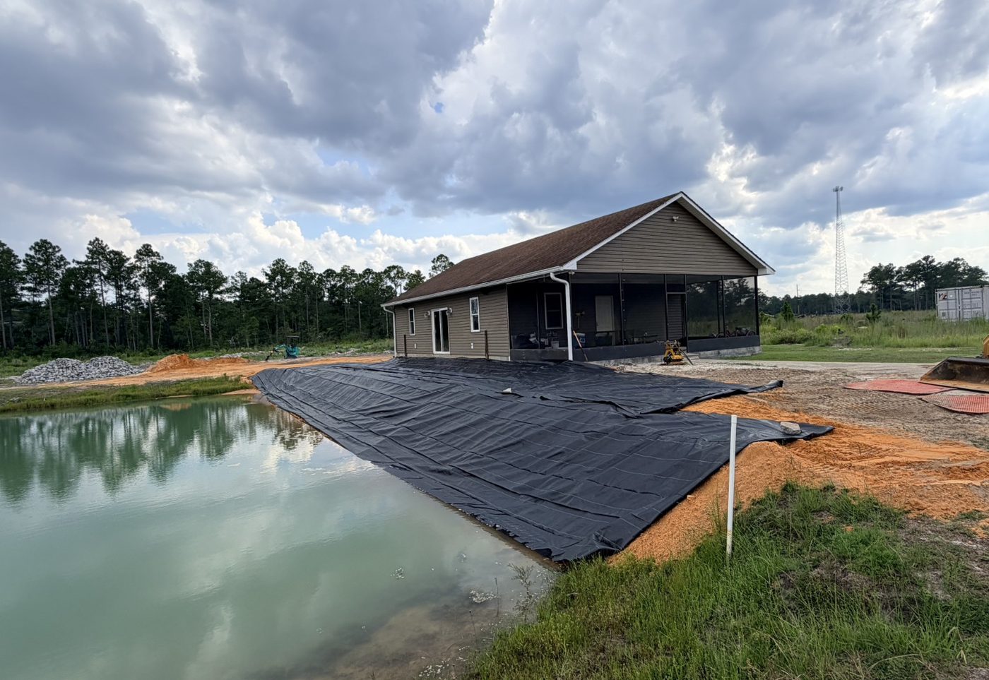
Project summary
The Cavagnaro Shoreline Stabilization Project was initiated to address significant shoreline erosion and bank instability that threatened the long-term integrity of the pond shoreline and adjacent improvements.
As the prime contractor, Satilla Site Solutions is managing and coordinating the project from planning through construction. The work includes shoreline stabilization, structural restoration, erosion control measures, drainage improvements, site restoration, contractor coordination, and project documentation to help protect the property from future erosion and ongoing shoreline degradation.
Existing Conditions
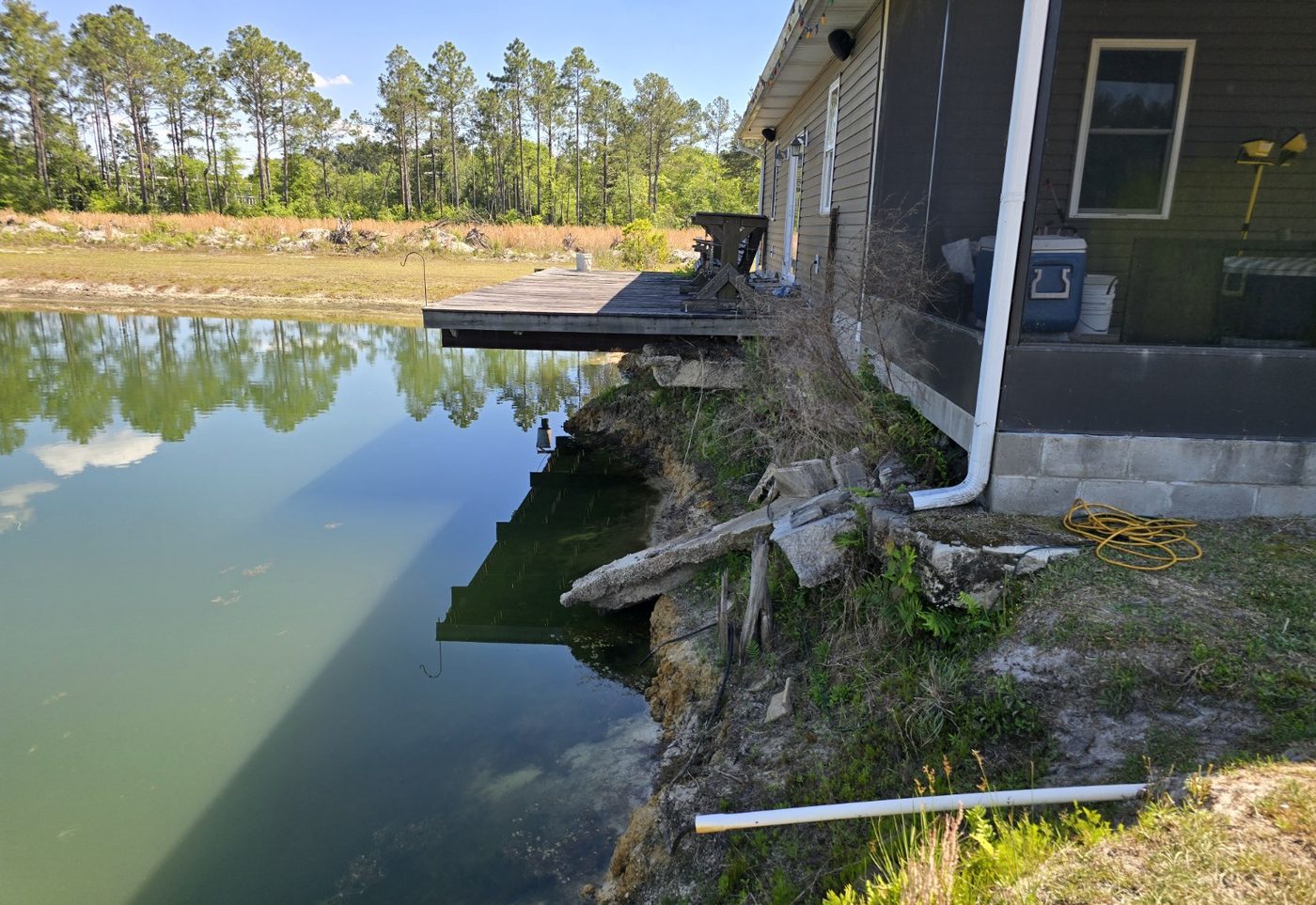
The existing shoreline showed significant erosion, undermined areas, and bank instability near adjacent improvements. Pond-side access and variable subsurface and water conditions required practical construction planning and field adjustment as the work advanced.
Construction Scope
Scope is listed based on currently identified project work and may be updated as owner-approved project information becomes available.
Existing deck demolition and removal, site access, temporary work-area preparation, and construction sequencing around pond-side constraints.
Dewatering and excavation as required for construction, shoreline stabilization system, structural backfill, compaction, and riprap toe protection.
Drainage improvements, concrete restoration, deck reconstruction, final grading, sod and site restoration, and underground downspout drainage.
Construction Challenges
Shoreline work can expose unforeseen field conditions, water concerns, access limitations, unstable material, and sequencing conflicts. Satilla's role is to manage those conditions professionally, keep the work moving, coordinate required resources, and maintain a clear project record without disclosing confidential contract information or partner issues.
Project Documentation
Construction activities are documented with field photography, drone imagery, project records, and progress reporting. Documentation supports the construction work by creating a clear record of existing conditions, progress, and ongoing project development.
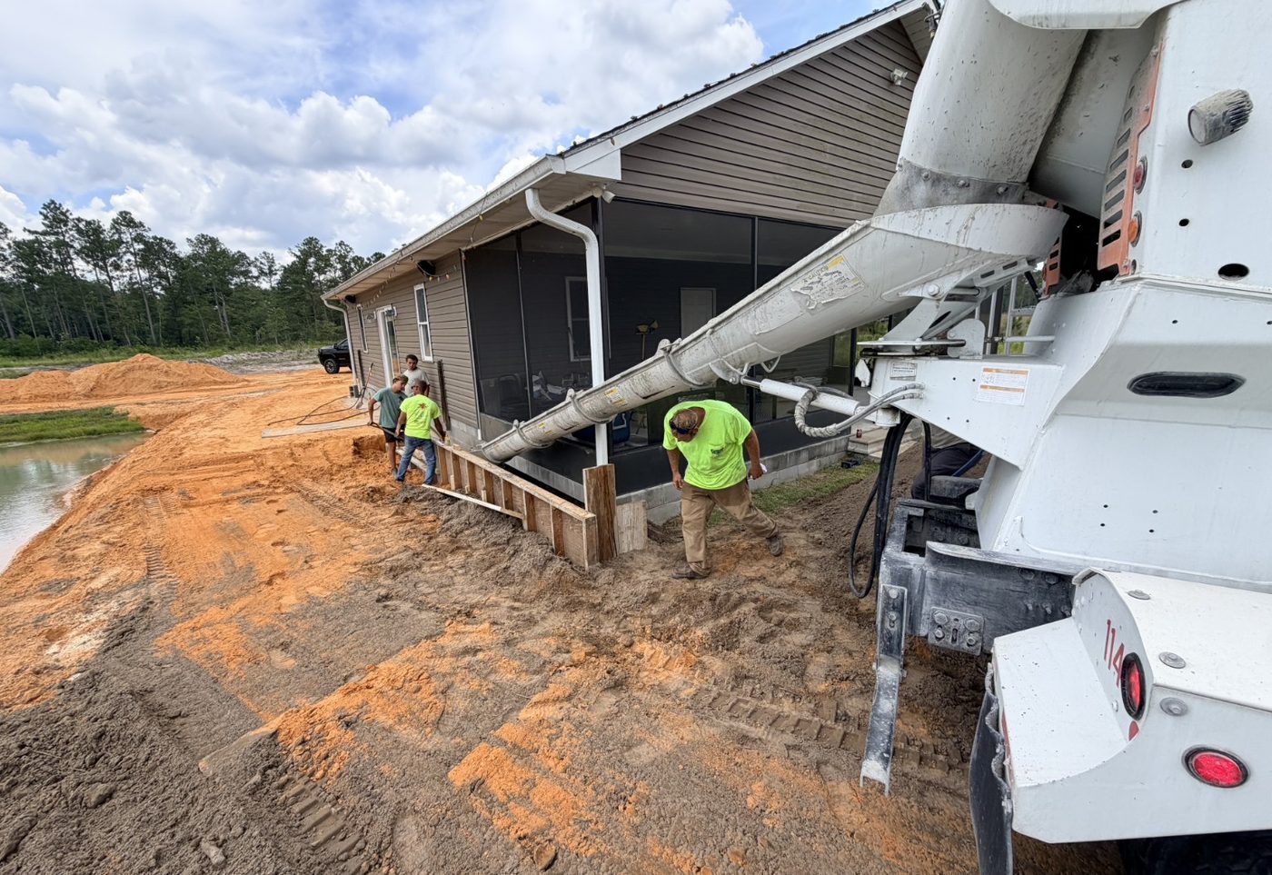
Field documentation of active construction along the pond-side work area.
Field documentation of shoreline erosion and bank instability.
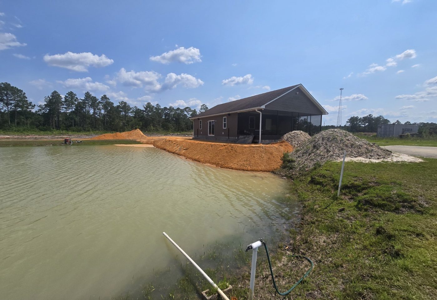
Progress view of the pond bank after grading and stabilization work advanced.
Related services
Shoreline stabilization often connects drainage, earthwork, site restoration, owner communication, and construction documentation into one coordinated scope.
Send project details, photos, and the site location so Satilla can evaluate the next step.
Submit Project Details