
Culverts & Cross Drains
Driveway culverts, cross drains, bedding, backfill, ditch tie-ins, aggregate restoration, and riprap stabilization help restore access and move water across the site.
View CulvertsDrainage & Stormwater
Satilla Site Solutions provides drainage and stormwater construction for sites where runoff, ponding, culverts, ditches, swales, erosion, or outfalls are creating problems.
The work begins with the visible problem but stays focused on practical construction: grading, drainage structures, culvert work, erosion control, riprap, stabilization, and restoration.
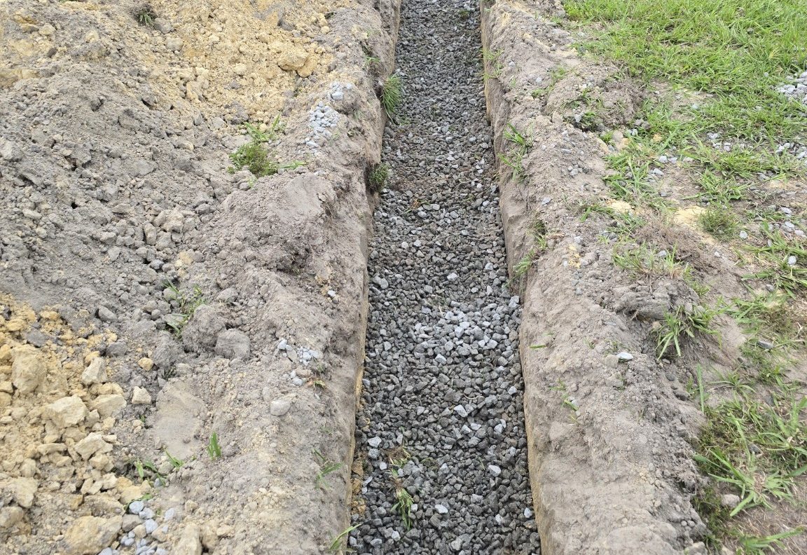
Stormwater problems addressed
Satilla looks at where water starts, where it is trying to go, what it is damaging, and what construction access is available. The solution may be a focused repair or part of a larger site package.
Stormwater construction considerations
Drainage work is affected by upstream flow, outlet conditions, soil, utilities, access, adjacent improvements, and the level of professional design or permitting required for the site.
Driveway culverts, cross drains, bedding, backfill, ditch tie-ins, aggregate restoration, and riprap stabilization help restore access and move water across the site.
View CulvertsDrainage repair often depends on practical excavation, ditch grading, swale shaping, slope correction, and final grades that move water away from vulnerable areas.
View ExcavationOutfalls, pond edges, and slopes may require riprap, bank stabilization, erosion repair, seed and straw, hydroseeding, sod, or other final stabilization measures.
View Shoreline WorkWhen professional input is required
Some drainage and stormwater work requires engineering design, permitting, survey information, utility-owner approval, testing, or specialty subcontractors. Satilla coordinates around those requirements and does not replace licensed engineering, surveying, code inspection, or legal services.
Drainage problems can also affect pond edges, banks, and shoreline areas. The Cavagnaro Shoreline Stabilization project shows how erosion, drainage, access, and restoration can come together in one active civil construction scope.
Send photos, the site location, and a description of where the water is coming from and where it needs to go.
Request Drainage Estimate